
Precision Aerial Imaging & Site Documentation
Professional, fully insured RPAS flight operations serving municipal, commercial, and agricultural sectors across Alberta. We deliver high-resolution aerial documentation with clear, transparent pricing, from routine multi-site inspections to single-flight projects.
Services
Municipal & Public Sector Imaging
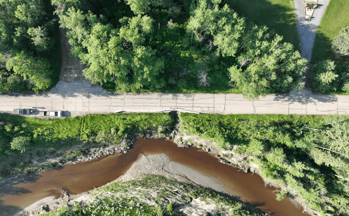
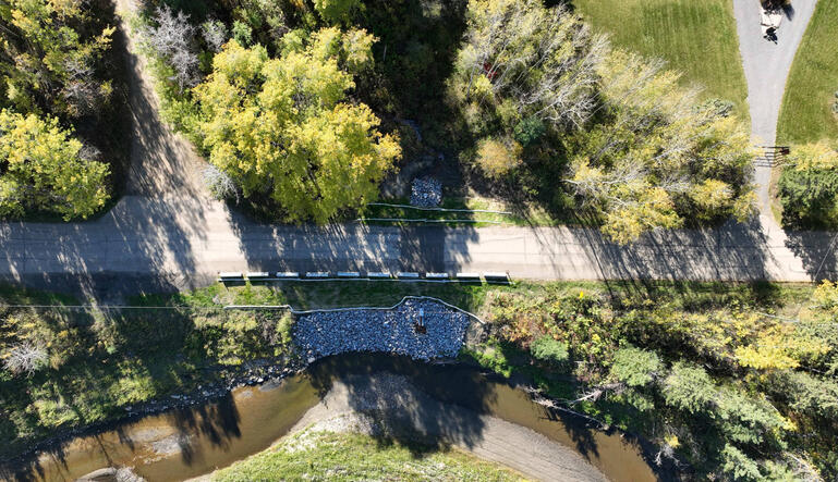
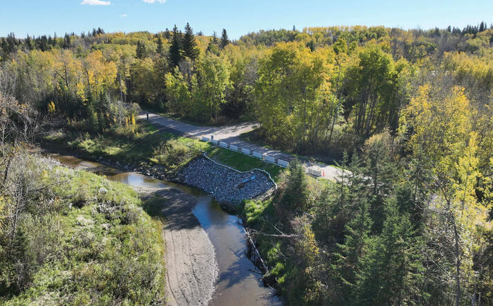
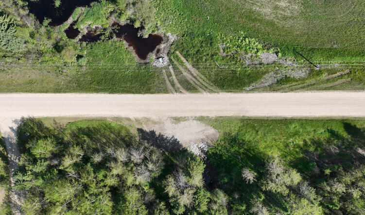
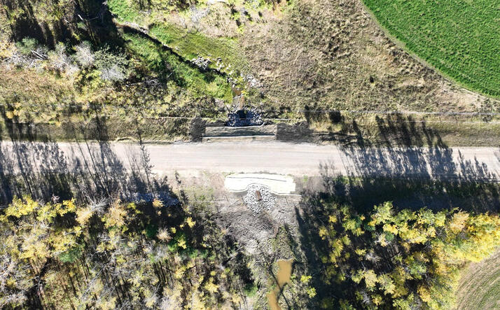
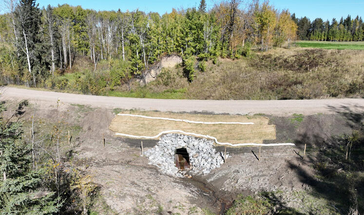
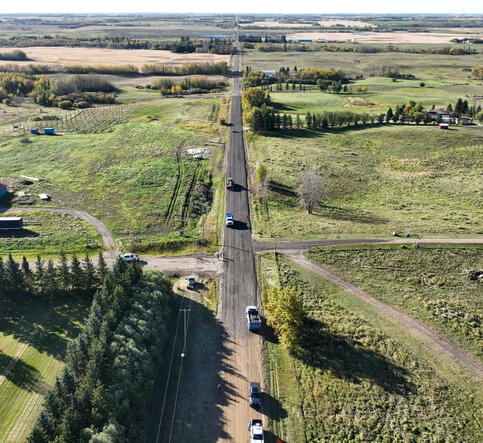
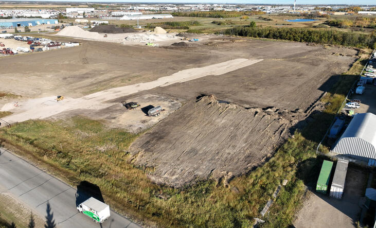
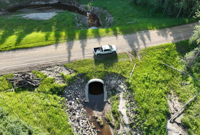
Capital Project & Infrastructure Tracking: High-resolution aerial progress photos for public works, road construction, facility builds, and council updates.
Asset & Facility Overviews: Aerial documentation of municipal yards, parks, utility easements, and drainage corridors.
Site Inspections: Safe, visual inspections of elevated or hard-to-reach municipal infrastructure without cranes or scaffolding.
Commercial & Local Business Aerials
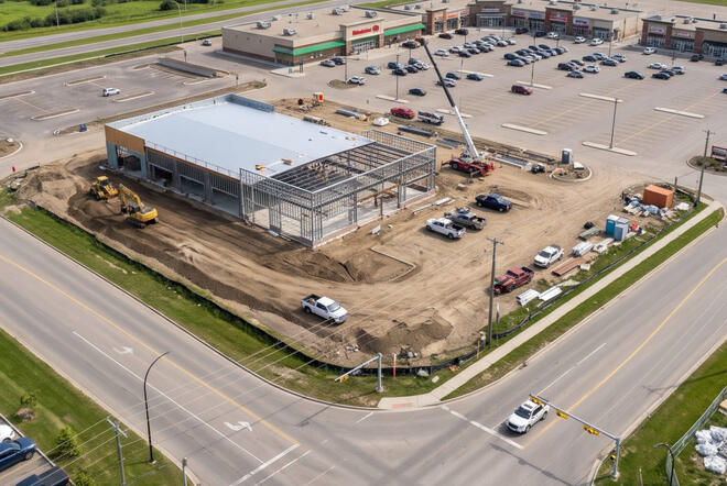
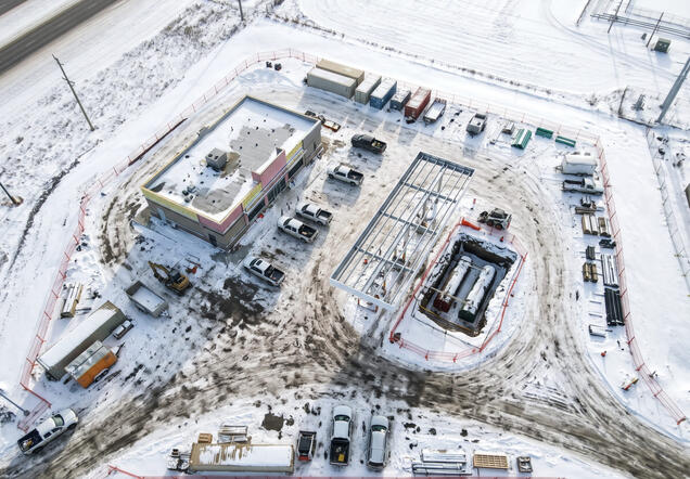
Commercial Real Estate & Development: Clean visual assets showing parcel boundaries, arterial road access, and site scale for marketing and listings.
Contractor Site Monitoring: Periodic before/during/after site photography for civil contractors, earthworks, and sub-trades.
Agricultural Scouting & Field Overviews
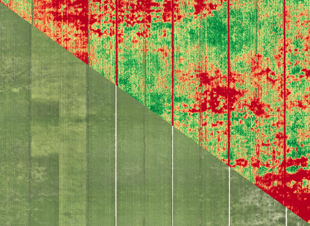
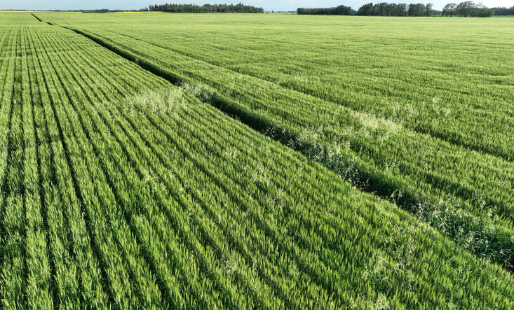
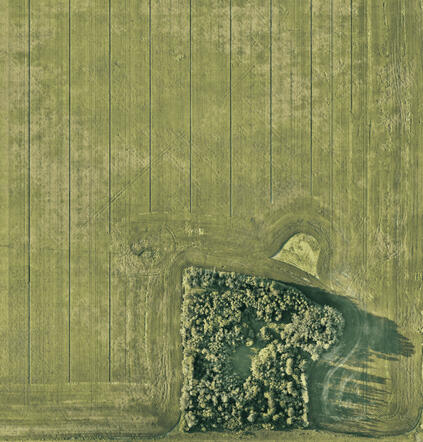
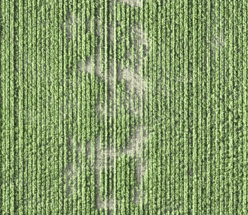
Acreage & Canopy Scouting: Broad-acre aerial overviews to identify emergence variations, weed patches, water pooling, and hail or equipment damage.
Drainage & Elevation Context: High-angle vantage points to monitor field drainage patterns and low-lying stress zones.
0.6" Per Pixel Precision: Ultra-high-resolution sensors capture plant-by-plant detail across your field, far surpassing satellite limitations.
True Variable-Rate Support: Identify distinct stress boundaries, weed outbreaks, and drainage issues to optimize variable input applications.
Why Us / Compliance
You don't have to choose between strict safety compliance and reasonable costs. We maintain rigorous Transport Canada operational standards and full commercial coverage while keeping our pricing grounded, practical, and competitive.
Transport Canada Compliant: Advanced Operations pilot certification ensuring safe, legal access to controlled airspace and populated areas.
Structured Risk Assessment: Pre-flight hazard assessments, site-specific safety briefings, and strict go/no-go weather minimums on every operation.
Fully Insured & Compliant: Dedicated commercial RPAS liability coverage and WCB clearance for total site peace of mind.
Rapid Local Turnaround: Based locally, ready for prompt scheduling and fast digital delivery.
Contact Us
We quote our flights based on what you actually need done, whether that's a flat fee for a single roof inspection, a half-day block to hit three job sites, or a scheduled seasonal contract for town infrastructure.Send us a quick note with your project details and location. We will confirm airspace feasibility and provide a simple, all-in number.
Operating Hours / Dispatch: Monday – Friday, 8:00 AM – 5:00 PM (Weather-permitting weekend and evening flights available for time-sensitive projects)
Primary Service Area:
Counties & Municipal Districts: Sturgeon County, Strathcona County, Parkland County, Leduc County, Westlock County, Lamont County, Thorhild County, and Beaver County.
Urban & Commercial Centres: Edmonton, St. Albert, Fort Saskatchewan, Spruce Grove, Stony Plain, Beaumont, and Leduc.
Central Alberta: Available for regional commercial, municipal, and agricultural flight operations throughout Central Alberta.